Cooperation and networks
UTU Geospatial Labs is a member in several international geospatial networks:
AGILE (Association of Geographic Information Laboratories in Europe)
EARSeL (European Association of Remote Sensing Laboratories)
Copernicus Academy (Expertise and uses of European Space Agency’s satellite data)
Geo for All (Open Source Geospatial Foundation’s Committee for Educational outreach)
Our cooperation in the development of geospatial expertise is especially long and diverse in East Africa, especially in Tanzania, where we have cooperated with several academic institutions, government, private sector actors and civic organizations since 2003 (tanzania.utu.fi).
The University of Turku is a founding member (est. 2008) of the Finnish University Network in Geoinformatics (FIUGINET). FIUGINET is a national scientific network and co-operation forum for geoinformation sciences in research, education and societal interaction. It consists of seven Finnish universities promoting development of shared research data and infrastructural needs. FIUGINET organizes annually 1-2 day gathering of geospatial scientists in the National Geoinformatics Research Days (Geoinformatiikan tutkimuspäivät).
CSC – IT Center for Science Ltd. is providing geospatial data, software, computing capacity and training to universities. Resources of CSC are found through Paituli Spatial Data Service at CSC. In collaboration with Research Institutions (NLS, SYKE, LUKE, GTK), CSC and FIUGINET are developing national Open Geospatial Information Infrastructure for Research and Education (oGIIR). This initiative has long roots, but as a Finnish Academy -funded FIRI infrastructure, OGIIR started officially in 2017. Geoportti, the Hub for for Finnish Geospatial Research and Education Resources was opened for public in spring 2019.
Nationally, our key government sector collaborators are National Land Survey of Finland (NLS) and The Finnish Geospatial Research Institute (FGI), Finnish Environment Institute (SYKE), Geological Survey of Finland (GTK ), Natural Resources Institute Finland (LUKE), Finnish Meteorological Institute (FMI) and Forest and Park Service Finland (Metsähallitus).
The University of Turku is a founding member (est. 2002) of the first regional spatial data infrastructure in Finland. Lounaistieto is a regional information service of Southwest Finland, hosting around 400 thematic geospatial data layers of the region. Lounaistieto, coordinated from the Regional Council of Southwest Finland organizes events, shares information about open data and publishes statistics of the region. We cooperate regionally also with several municipalities, regional organizations, universities and high-schools, especially City of Turku, Centre for Economic Development, Transport and the Environment, Åbo Akademi University andTurku University of Applied Sciences.
We also enjoy working in close partnership with private companies and innovation hubs to initiate new geospatial solutions for the society:
FLIC (Finnish Location Information Cluster) is a co-operative body for companies in GEO-ICT business. We cooperate with several FLIC companies through R&D projects nationally and internationally.
Boost Turku is a student-based network for young entrepreneurs and entrepreneur-minded people sharing knowledge among the universities of Turku. We organize hackathons and innovation competitions jointly with Boost Turku.
Turku Science Park is coordinating business and innovation services in the region. We organize hackathons and innovation competitions jointly with Turku Science Park and support private sector opportunities for geospatial experts.

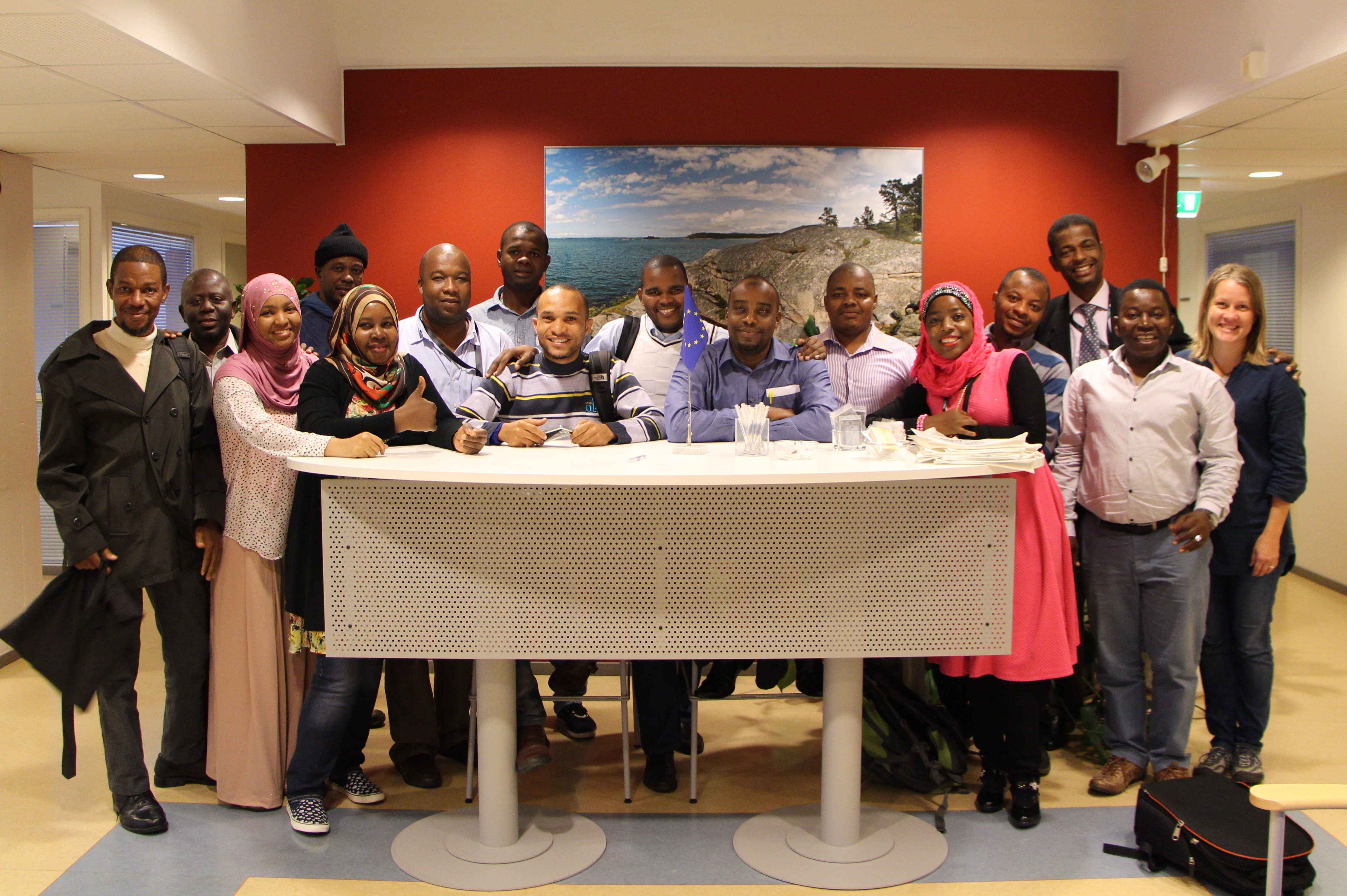
Partners from the ZAN-SDI project visiting the Regional council of Southwest Finland together with UTU members.
