Need an expert?
In University of Turku, there is a group of researchers utilising geospatial expertise in their research efforts. The great variety of research topics they represent illustrate the limitless potential of utilising geospatial data and methods in scientific activities.
The following list includes established researchers, each having their own skill sets and strengths in the field of geospatial research. Whether searching for project partners or collaborators in article writing, feel free to familiarise yourself with the geospatial and thematic expertise that these experts provide.
Contact information for the researchers can be found at their personal UTU Research Portal page.
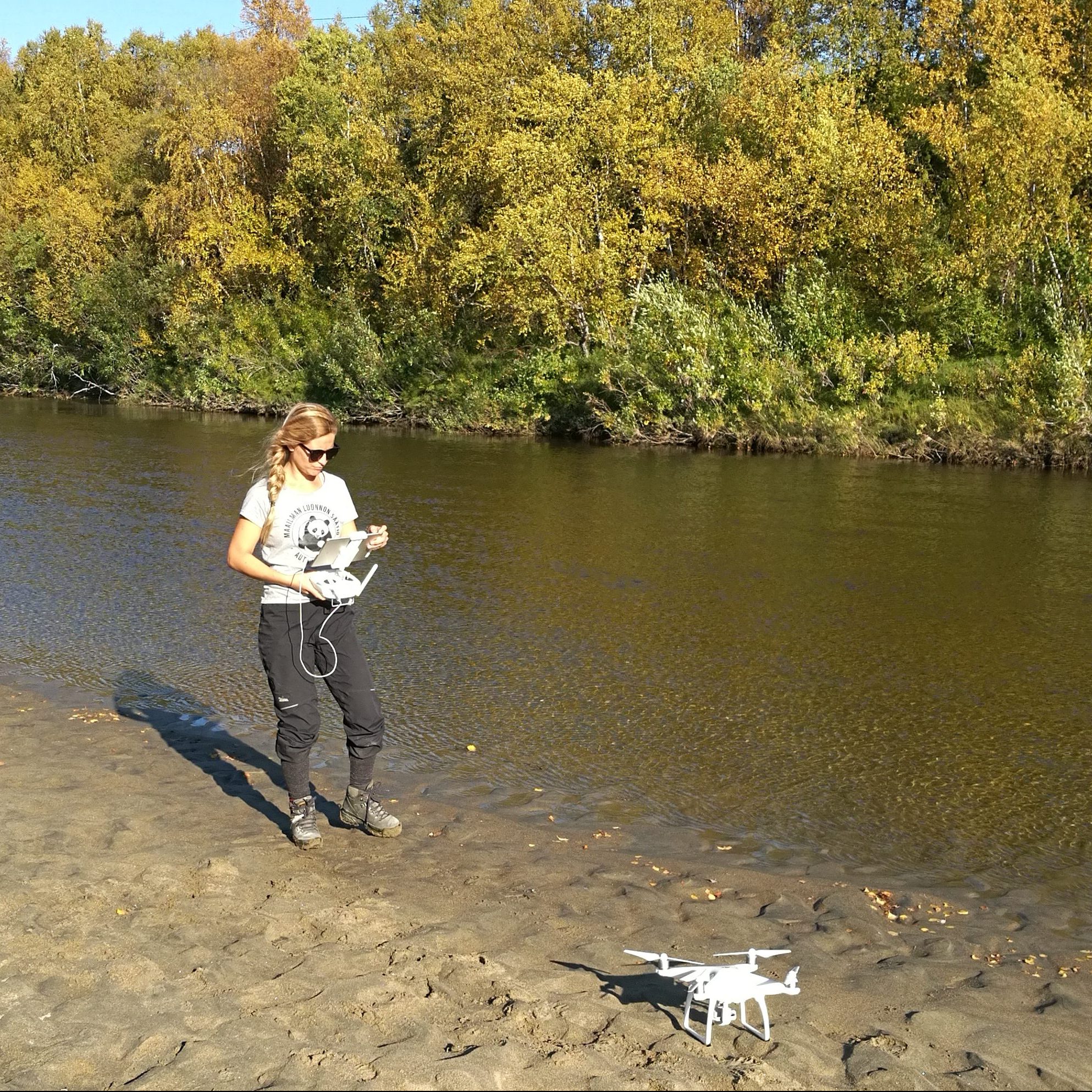
Geospatial expertise: Laser scanning, topographical survey, digital elevation models, flood mapping.
For more information about Petteri, visit: UTU Research Portal.
Geospatial expertise: Participatory mapping, participatory GIS (PGIS), public participation GIS (PPGIS), qualitative GIS, social network analysis.
For more information about Salla, visit: UTU Research Portal.
Geospatial expertise: Participatory GIS (PGIS), public participation GIS (PPGIS), land use and land cover dynamics, 3D virtual landscapes.
For more information about Nora, visit: UTU Research Portal.
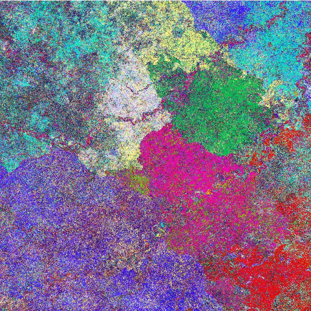
Geospatial expertise: Geospatial modelling, spatio-temporal statistics, eco-hydrological modelling, remote sensing.
For more information about Carlos, visit: UTU Research Portal.
Geospatial expertise: Biogeography, geospatial studies, geospatial infrastructures.
For more information about Risto, visit: UTU Research Portal.
Geospatial expertise: Environmental remote sensing, participatory mapping, land change analysis, geospatial skills and competence development.
For more information about Niina, visit: UTU Research Portal.
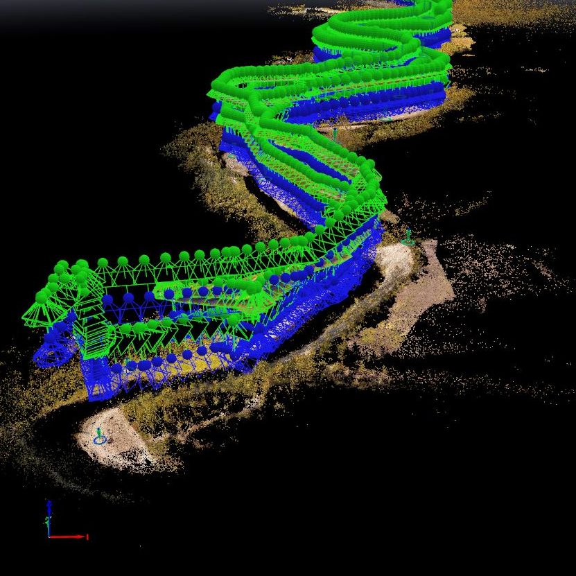
Geospatial expertise: LiDAR, glacial geomorphology/geology, groundwater and hydrogeology, environmental magnetism.
For more information about Joni, visit: UTU Research Portal.
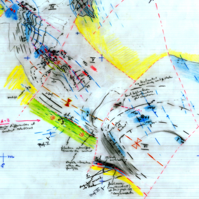
Geospatial expertise: LiDAR, quaternary map units, post-glacial faults and landslides, soil thickness models.
For more information about Antti, visit: UTU Research Portal.
Geospatial expertise: Urban climatology, land use and land cover characteristics, spatial modelling, topographical analyses.
For more information about Juuso, visit: UTU Research Portal.
Geospatial expertise: Spatio-temporal analysis, remote sensing, time series, marine and coastal waters, field work.
For more information about Tapio, visit: UTU Research Portal.
Geospatial expertise: Coastal geography, maritime spatial planning, marine and coastal spatial analysis, multidisciplinary spatial analysis, human population history.
For more information about Harri, visit: UTU Research Portal.