Geospatial services
UTU Geospatial Labs offers external support and services in geospatial research and education.
Examples of frequently asked services are:
Institutional development of geospatial expertize and competences
Expert consultations regarding different specialization fields of geospatial research and education
Practical GIS and image processing training for government and private sector
Data visualization and map-making expertise
Please browse through our publications and other materials at UTU Geospatial pages and contact us for further details on our expertise and services.
Please contact us for more information on our expert services
References
Regional SDI development Lounaistieto (since 2002-)
Paikkaoppi is a GIS learning platform for school education (since 2008-)
BalticSatApps (2017-2020) aims to advance the development of new solutions and commercial activity that utilize Copernicus earth observation data
GEO-ICT Geospatial and ICT capacities in Tanzanian Higher Education Institutions (2017-2019, Ministry for Foreign Affairs, 2017-2020)
HEI-GIS Capacities at the University of Dar es Salaam, Tanzania (2013-2015, Ministry for Foreign Affairs)
Resilience Academy (2019-2020) aims at transforming digital assets and geospatial expertise from the Tanzania Urban Resilience Programme to local academia and their international partners.

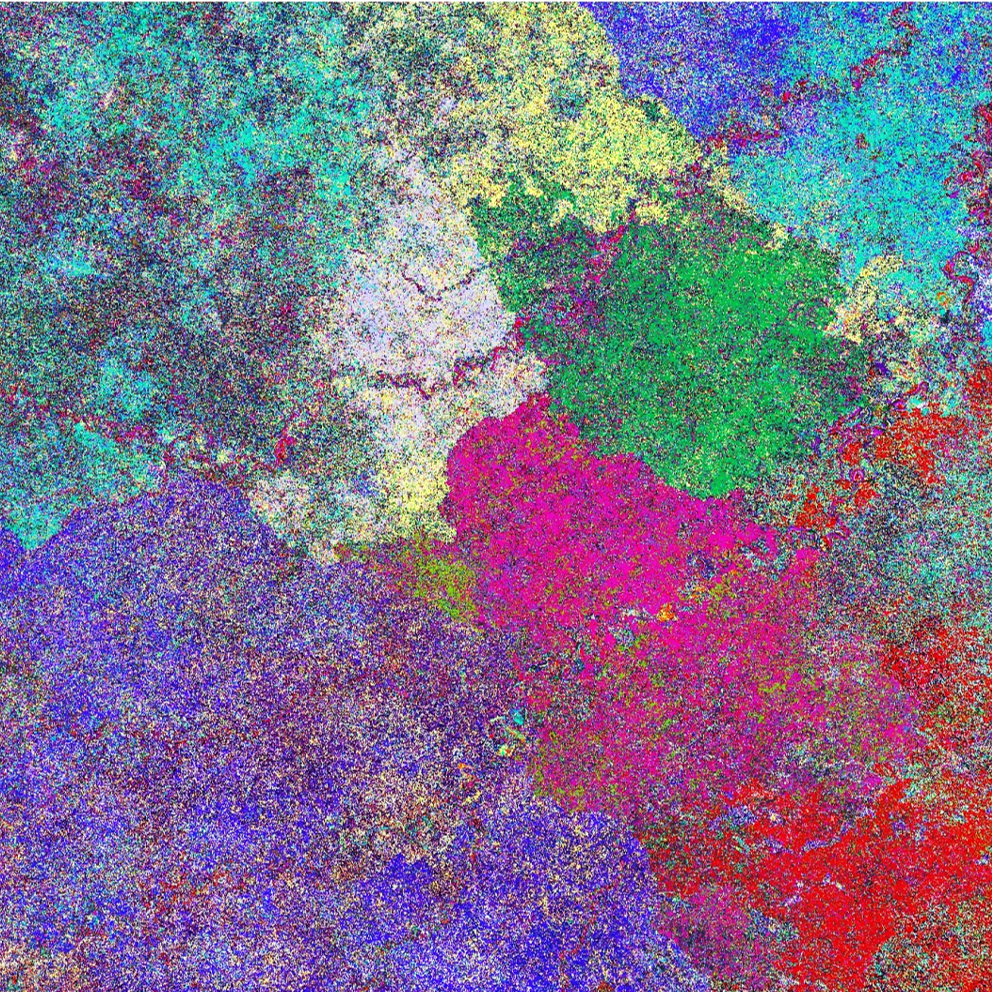
Satellite imagery view on the Amazonian bamboo forest.

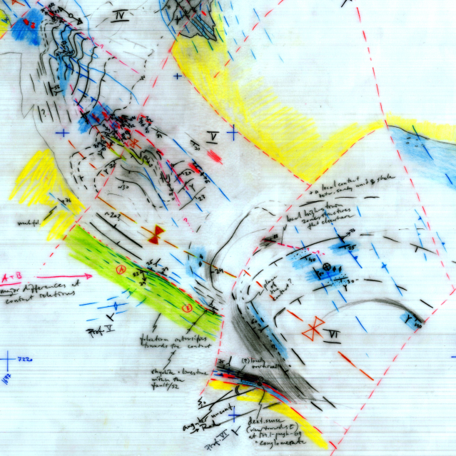
Geological field observations.

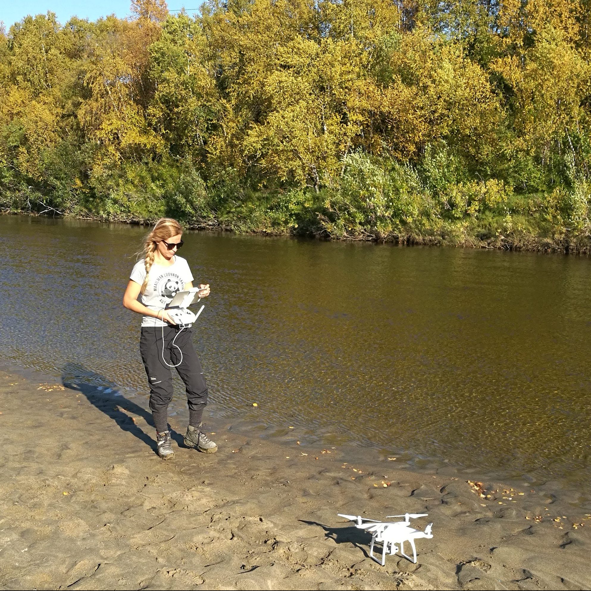
Studying the river dynamics: using a drone to collect aerial images over a river reach.

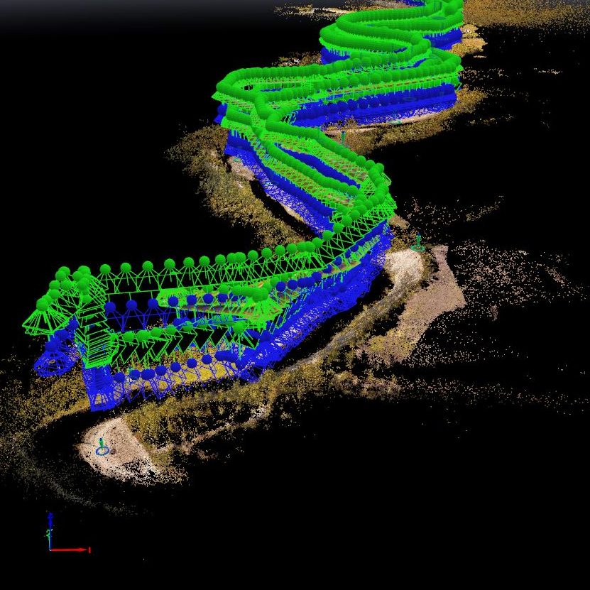
Combining a set of drone based aerial images of a river reach into a photo mosaic.
