Geospatial data
Geospatial analyses provide a practical means for exploring world the dynamics between people and their environment, and for analyzing how nature changes and how societies evolve. Such analyses require high-quality spatial data of various phenomena. There is a unique collection of high-quality spatial data resources in Finland, many of which are produced by the government organizations and municipalities, but also by researchers, different civil organization and private companies.
Via UTU Geospatial Labs web pages you may access a variety of open-access geospatial data sets in Finland. For the students and researchers, there is also geospatial data service PaITULi hosted by CSC (IT Centre for Science) accessible via active HAKA-login. CSC service has a handy map-based search of different data sets.
University of Turku students and researchers are encouraged submit their GIS dataset to Paikkatietoarkisto (paikkatietoarkisto@utu.fi), which is a storage service for geospatial data produced at UTU either as part of the Bachelor’s, Master’s or Doctoral studies or academic research. Upon data upload, please fill in all the required forms. Besides sharing your own data you may browse for already existing datasets at Paikkatietoarkisto.
Thematic geospatial data services of various organizations
SYKE provides an environment and GIS service for professionals. They provide a Metadataportal. Selected national environmental spatial datasets can be downloaded from the LAPIO service.
VELMU is an inventory program focused on the biodiversity of the underwater nature. You can view the collected data in the map service.
Finnish Heritage Agency provides a range of spatial data from the material cultural heritage and the cultural environment field for free usage
Hakku service is provided by The Geological Survey of Finland (GTK). The service lets you search for and start using a range of spatial data products, documents and metadata.
The Finnish Transport Agency provides datasets for free download through their own service.
Statistics Finland is a public authority which produces the vast majority of Finnish official statistics and is a significant international actor in the field of statistics.
Finnish Meteorological Institute (FMI) maintains their own dataservice. Using their data requires a registration.
National Resources Institute Finland (LuKe) offers a range of food and natural resources statistics.
National Institute of Health and Welfare (THL) produces and shares statistics in the field of social welfare and health care. Register of infectious diseases holds data by disease.
The Social Insurance Institution Kela hosts their own statistics service going by the name Kelasto.
European Space Agency (ESA) provides satellite and spatial data for free usage.
U.S. Geological Survey (USGS) provides a variety of satellite data from their archive for free usage.
HELCOM (Baltic Marine Environment Protection Commission – Helsinki Commission) is the governing body of the Convention on the Protection of the Marine Environment of the Baltic Sea Area.
Open Street Map (OSM) is a global, collaborative mapping project that openly shares its data. Take a more detailed look at
ESRI Open Data is the home for all the data that the company behind ArcGIS openly shares to all users.
YKR dataset (Monitoring System of Spatial Structure and Urban Form) created and maintained by the Finnish Environment Institute (SYKE), is used in joint projects between UTU-GIS and the city of Turku. For more information about YKR please contact UTU-GIS laboratorian.
Open data in Finland
Helsinki Region Infoshare (HRI) provides open data from the Helsinki region. Not all of the data that they provide is spatial.
Helsinki Region Environmental Services Authority (HSY) is a major environmental operator in the metropolitan area. They have their own downloading service in the address below.
Lounaispaikka shares regional open data sets in their website.
Open Data in the Tampere Region (Open Data TRE) -project has been created to promote the actions to open the data sets created by public funds for open usage.
The city of Jyväskylä also provides open data free for download and information on applications that have been developed from open data in their region.
City of Oulu provides open public data sets for public use free of charge with the aim to make the usage easier for citizens, businesses, organizations, education and research purposes.
Avoindata.fi service has been created as a part of the Open data program of the Ministry of Finland. It promotes and supports the sharing and usage of open data created by public organizations.
Open Knowledge Finland is a local group of Open Knowledge Foundation, that promotes the usage of open data in all the sector of the society. They also provide instructions and guidance on how to open data.
The European Union Open Data Portal provides a wide range of free to use open data from different institutions and other bodies of the European Union (EU)

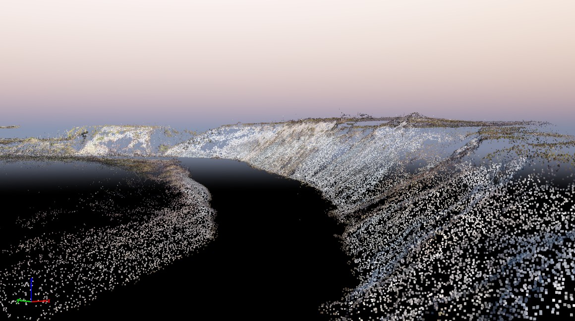
3D data of a riverbank produced by laser scanning

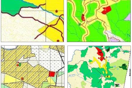
Village land use planning data from the Southern Highlands of Tanzania

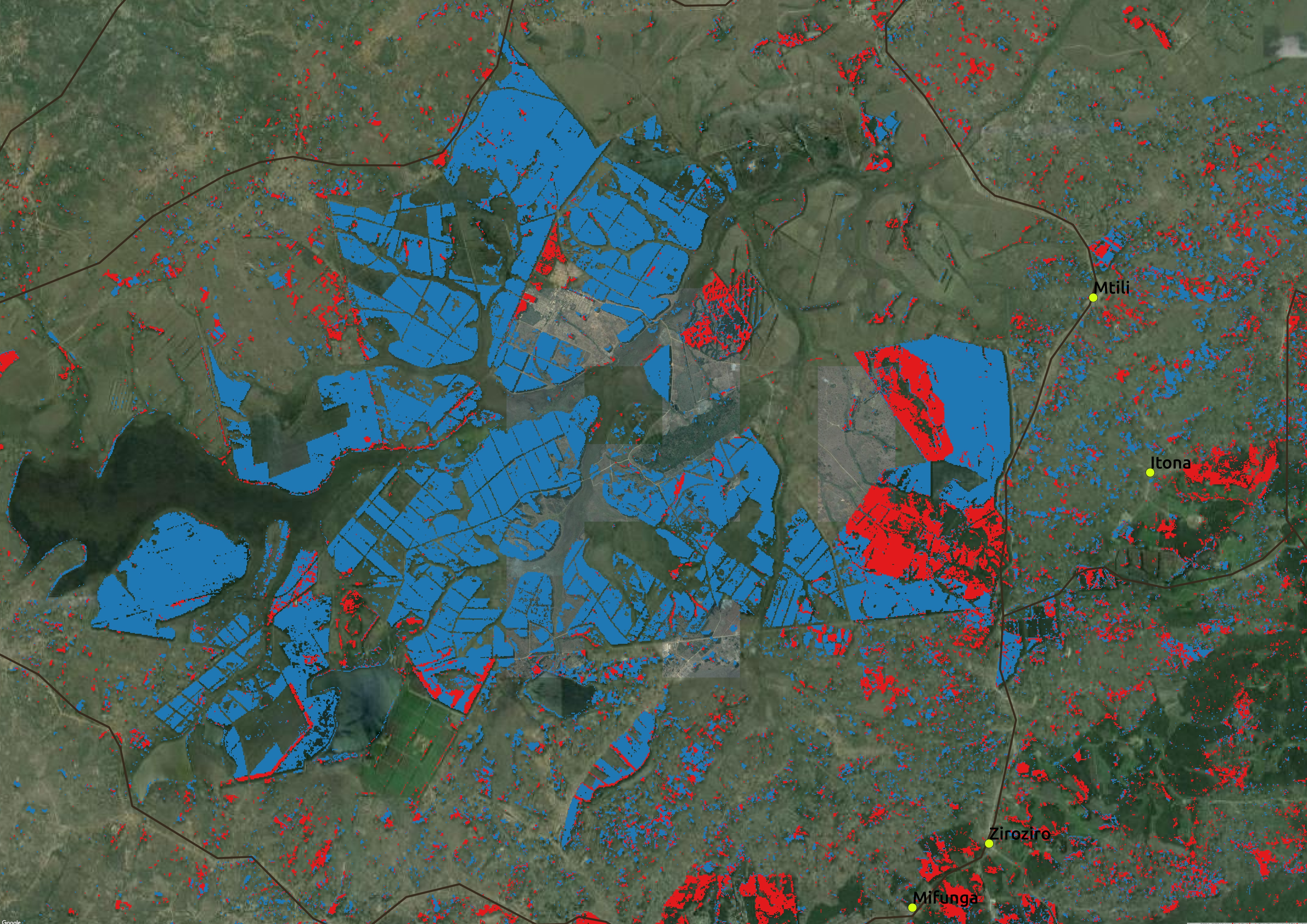
Forest plantation mapping results from Iringa, Tanzania with pine plantations in blue, and eucalyptus and wattle plantations in red
